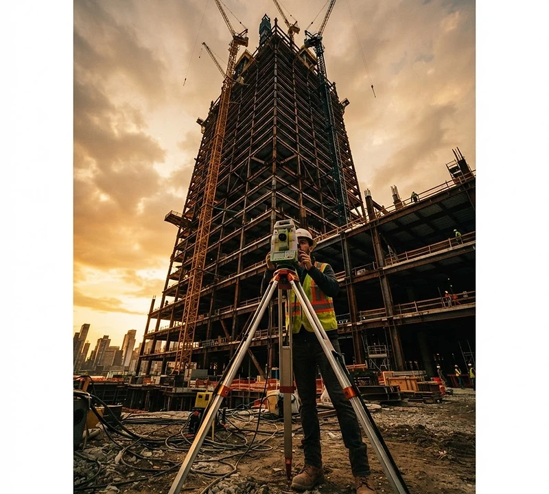
Precision
Built In.
ACR Tech delivers millimetre-accurate construction surveying for Canada's most demanding building projects — from foundation layout to as-built verification.
24–48 hr
Quote Turnaround
±2mm
Survey Precision
15 Yrs
Industry Experience
01 — Services
Every millimetre matters. We make sure yours are right.
ACR Tech provides end-to-end construction surveying services for high-rise, commercial, industrial, and civil projects across Canada. Our field crews and technology integrate directly with your project team from day one.
⊹
Construction Layout
Precise staking of foundations, columns, walls, and structural elements to design tolerances.
◫
As-Built Surveys
Verification and documentation of completed construction against design drawings.
△
Volume & Grade Control
Earthworks quantity calculations and machine-control data for civil and site work.
◈
3D Laser Scanning
High-density point cloud capture for complex structures, retrofit, and clash detection.
◎
Monitoring & Deformation
Continuous structural and ground movement monitoring throughout the build cycle.
⬡
Drone Photogrammetry
RTK aerial flights producing orthomosaics, DSMs, and survey-grade topographic maps.
⬢
LiDAR Scanning
Aerial and terrestrial LiDAR capture delivering dense, survey-grade 3D point clouds.
⊞
BIM Integration
Survey data delivered directly into Revit, AutoCAD Civil 3D, and Navisworks workflows.
02 — Projects
Built on trust, delivered with precision.


Nistulin Bay Bridge
As-Built Surveys · Drone Photogrammetry · LiDAR Scanning · CAD · Monitoring · 2024

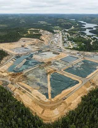
Flin Flon Tailings Improvements
Construction Layout · Drone Photogrammetry · CAD · Monitoring · 2023


Anderson Tailings Improvements
Construction Layout · As-Built Surveys · Drone Photogrammetry · LiDAR Scanning · CAD · Monitoring · 2023

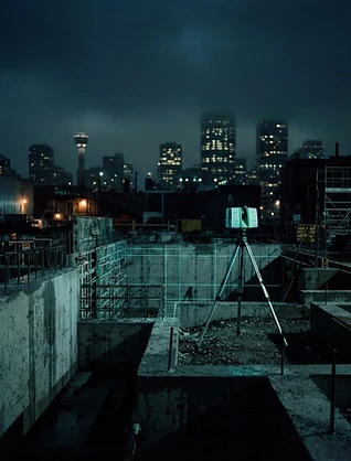
Eau Claire Plaza 3D Scanning
3D Laser Scanning · 2023
03 — Technology
The instruments behind every accurate build.

01 — Technology
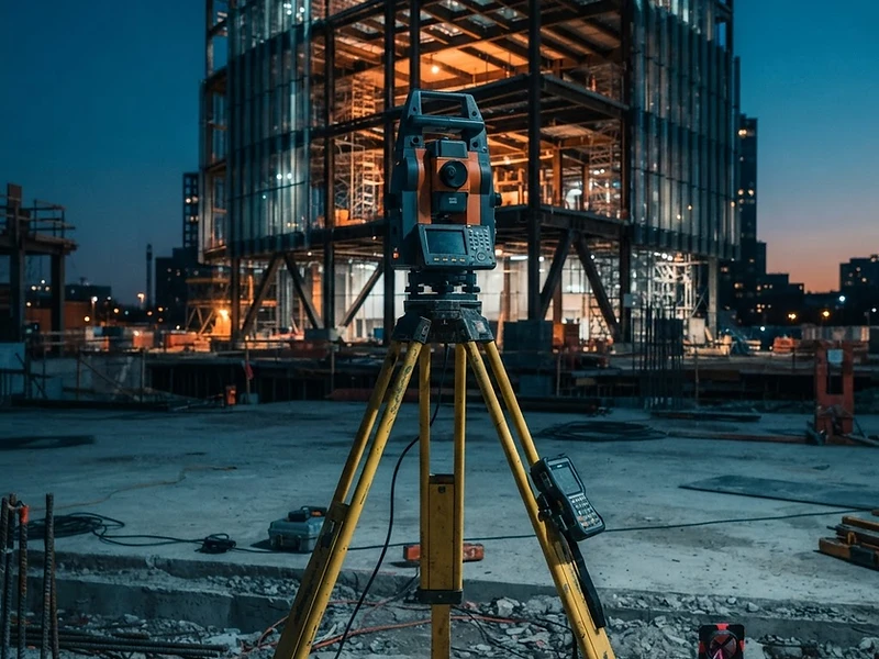
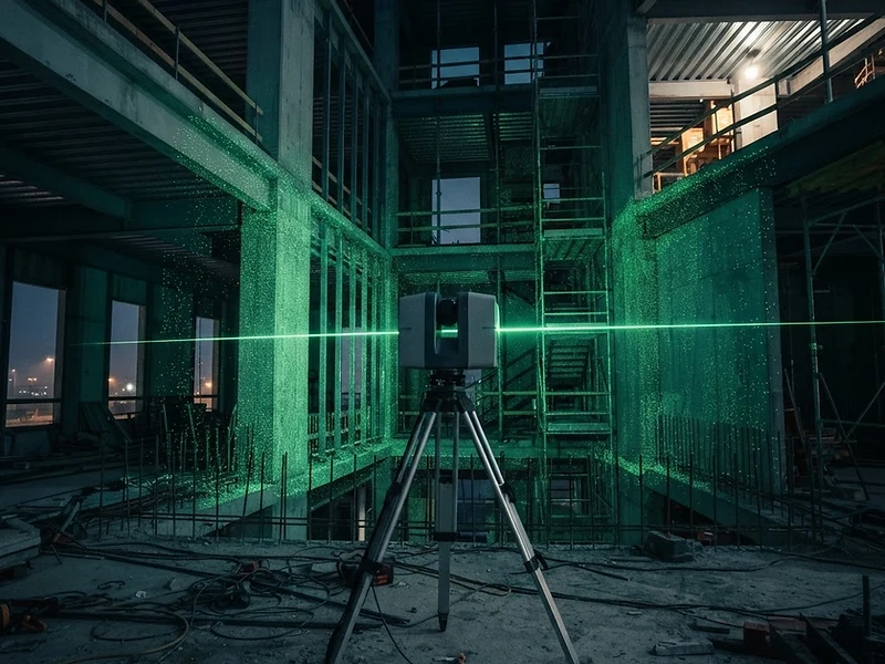
Robotic Total Stations
Leica and Trimble one-person robotic stations delivering sub-millimetre accuracy across all phases of vertical and horizontal construction.


02 — Technology
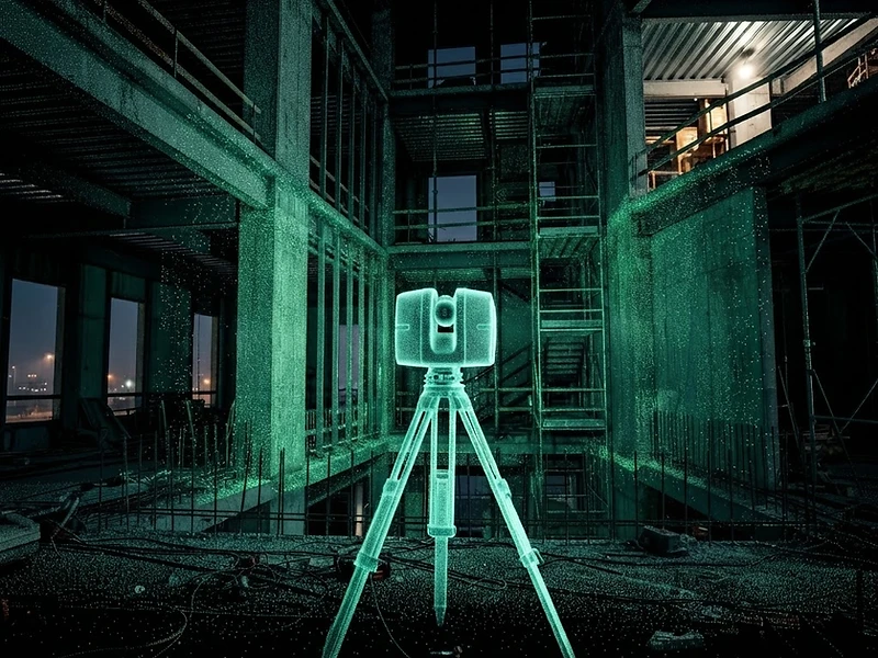
3D Laser Scanning
High-density point cloud capture at up to 2 million points per second — ideal for complex geometry, retrofit documentation, and clash detection.

03 — Technology
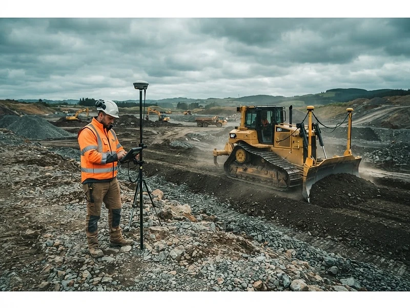
Machine Control & GNSS
RTK GNSS network rovers and machine-guidance data for earthworks, grading, and civil infrastructure with centimetre-level positioning.
04 — Drone & LiDAR
See your site from above — and from every angle.
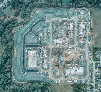
Our drone mapping and LiDAR services capture your entire site in a single pass — delivering survey-grade aerial imagery, dense point clouds, and 3D terrain models that feed directly into your design and construction workflows.
Aerial Mapping
High-resolution orthomosaic imagery and topographic maps from RTK drone flights.
LiDAR Point Clouds
Terrestrial and aerial LiDAR capture delivering dense, survey-grade 3D models.
Digital Surface Models
Accurate DEM/DSM generation for earthworks, grading, and volumetric analysis.

Drone Mapping

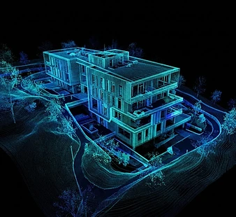
LiDAR Scanning
05 — Get a Quote
Let's survey
your project.
Send us your project details — location, scope, and schedule — and we'll get back to you within one business day.